
Fort Walney Searchlight Emplacement
Part of a set uploaded to Flickr by Silver*Rose
Walney Island in Cumbria, the eighth largest island off the English coast, is linked to the mainland of Barrow-in-Furness by a direct road bridge, ‘Jubilee Bridge’. Although both now a part of Cumbria, Barrow-in-Furness and Walney fell within the boundaries of Lancashire until 1974. Although over ten miles long, it is no more than a mile wide at any point across.
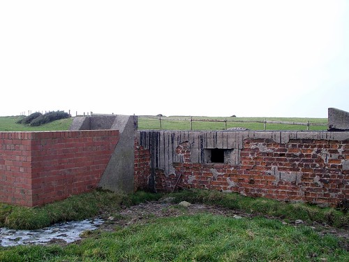
Fort Walney dates back to 1880 as a battery post, with costal defences constructed for the Lancashire and Cheshire Royal Garrison Artillery in 1911. The site was later modified for use during the Second World War. Surviving structures include the modified searchlight emplacement, pictured in this set, and the observation tower, last used by the Walney Coastguard. Nearby are air-vents for the subterranean shelters, two pill-boxes and a 29mm 'Blacker Bombard' spigot-mortar post. (For an excellent informative article, see this link to an item by R.W. Barnes
Not far away is Walney airfield. First used as an airship station during the First World War, it opened as an airfield during WWII and left disused for some time thereafter. The air force base gunnery school provided training for RAF personnel until its closure. The airfield now belongs to BAE Systems, current owners of the shipyard, having been acquired by former owners Vickers after several years of closure.
For further detailed information on the airfield’s history see the cumbria industries website.
Other interesting features include the bunker or decoy sites, dotted around the area. Possible Special Fire (SF) or ‘Starfish’ / QL decoys may have been intended to protect the nearby docks and shipyard in the event of an aerial attack. A structure at Wylock Marsh is pictured further below and in this set on Flickr.
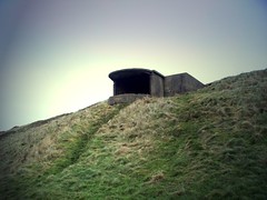
The title picture in this post (above) shows the approach to the emplacement from the beach below.
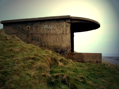
Apparently the shape and structure of this searchlight emplacement are more refined than the typical WWII designs, attesting that it is, in fact, a modified structure from the original battery.
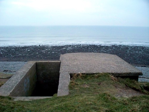
Steps lead down into the space you can see in the followinging pictures, with the roof lying to the right.
The sloped roof over the opening, designed to ricochet connecting shells, is one of the identifying features giving away the true vintage of this emplacement.
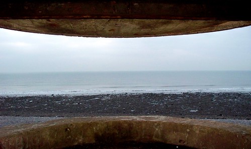
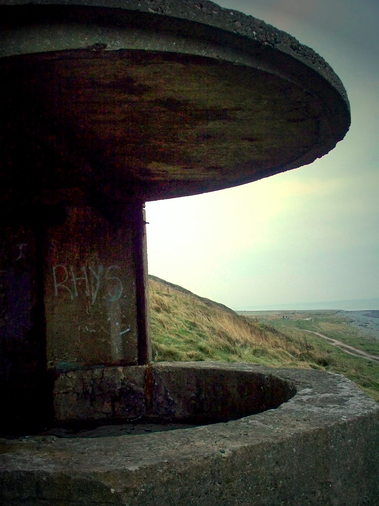
Above is the position occupied by the lamp and its operators for defensive illumination of target vessels / craft.

Inside the emplacement, besides a welcome relief from the sea gusts, part of the steel door and sliding shuttering remains, and it can be seen where the rheostat and switchgear were attached to the wall. Not in great condition though it has to be said.

Steps from outside the back of the emplacement enter down inside.
The modified WWII bunker above may have been used as a decoy site, in the protection of Barrow's docks and shipyard from potential aerial attack. Suggestions imply this may have been a Special Fire (SF) or 'Starfish' / QL decoy site. Unusually, it appears to have a loophole, suggesting it may have been manned / armed.
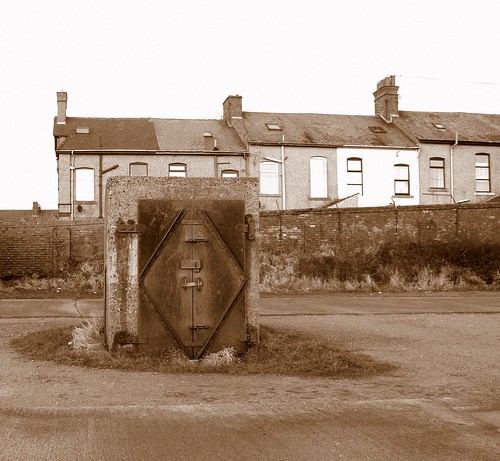
The air raid shelter exit from the front. Securely closed.
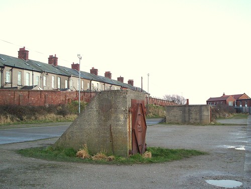
The entrance pictured in the previous photo can be seen further most in the distance here. In the foreground is the emergency exit.
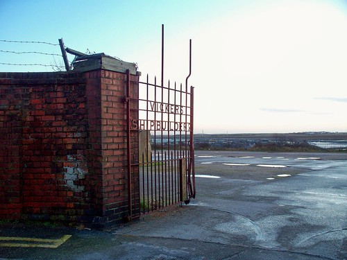
A very fine gate stands as a reminder of the industry that gave Vickerstown its name.
No comments:
Post a Comment